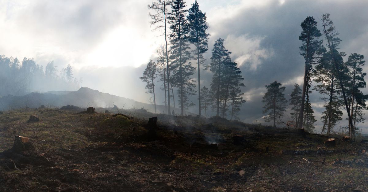
Wildfires in Hayward? Just a few years ago, the idea might have sounded unlikely. But as California’s climate shifts rapidly, Hayward wildfire risk is no longer theoretical. The city’s 2045 General Plan Update is sounding the alarm — and it’s urging residents, developers, and city officials to prepare now, not later.
With rising temperatures, longer dry seasons, and increased vegetation stress, even urban areas like Hayward are not immune to the growing wildfire threat. If you’re living near the hills, in open-space communities, or near wildfire-prone corridors, you could be at risk.
What the 2045 Plan Says About Hayward’s Wildfire Future?

The City of Hayward 2045 General Plan includes a detailed analysis of natural hazards, including wildfire exposure. While Hayward has not historically been a wildfire hot zone, that is changing due to:
- Climate change and hotter summers
- Drought-stressed vegetation in open spaces
- Increased housing near wildland-urban interfaces
- Wind-driven fire behavior from nearby hills
According to the plan, wildfire risk is expected to grow substantially by 2045, especially in areas near Garin Regional Park, the Hayward Hills, and Ward Creek Open Space.
Which Areas of Hayward Face the Highest Wildfire Risk?
The plan identifies several “Very High Fire Hazard Severity Zones (VHFHSZs)”, as defined by Cal Fire and the Hayward Fire Department.
High-Risk Neighborhoods Include:
- Hayward Hills (east of Mission Blvd)
- Fairview neighborhood
- Areas near Don Castro Regional Park
- Border zones with Castro Valley and Union City
These locations combine dense vegetation, steep slopes, and limited evacuation routes — a dangerous trio during a fast-moving wildfire.
Hayward Wildfire Risk Map: Snapshot (Based on 2025 Data)
| Zone/Region | Risk Level | Primary Hazards |
|---|---|---|
| Hayward Hills (east slopes) | Very High | Wind-driven fires, vegetation overload |
| Fairview Open Space | High | Fuel load, poor water access |
| Ward Creek Watershed | Moderate to High | Seasonal brush buildup |
| Downtown & West Hayward | Low | Dense urban development, limited brush |
Source: Hayward 2045 General Plan + Cal Fire 2025 Map
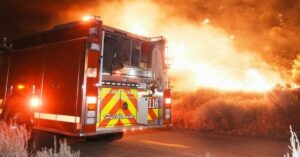
What’s Being Done to Mitigate the Risk?
The city isn’t standing by. Hayward’s 2045 Plan outlines aggressive wildfire preparedness and mitigation strategies.
City Actions Include:
- Vegetation Management Plans for public open spaces
- New zoning restrictions in fire-prone development areas
- Expanding defensible space rules for homes near hillsides
- Upgrading evacuation routes and emergency alert systems
- Partnering with East Bay Regional Park District for fuel reduction
Additionally, the city is requiring fire-resilient design in new developments, including:
- Fire-resistant roofing and siding materials
- Spark arresters on chimneys
- Ember-resistant vents and landscaping
What You Can Do: Wildfire Prep for Hayward Residents
Even if you live in a lower-risk zone, the reality of fire season demands personal preparedness.
Wildfire Safety Checklist:
✅ Create a 30-100 ft defensible space around your home
✅ Keep gutters and roofs clear of leaves and debris
✅ Store flammable materials away from structures
✅ Sign up for AC Alert (Alameda County emergency notifications)
✅ Have an emergency go-bag and family evacuation plan
Pro Tip:
If you live in Hayward Hills, check your parcel status on the Cal Fire hazard map and ask your insurer if your policy covers wildfire.
Will Insurance Be Affected?
Yes — and it already is. As of 2025, many insurers in California are:
- Raising premiums in moderate to high fire risk zones
- Dropping coverage entirely in some hillside regions
- Requiring annual property inspections for renewals
If you own property in a VHFHSZ, you may need to purchase California FAIR Plan coverage, which offers basic fire insurance when private insurers won’t.
Developers, Take Note: New Rules for Building
If you’re planning to build or remodel in Hayward, especially near the hills, you’ll face stricter codes under the 2045 Plan.
Development Requirements Now Include:
- Wildfire risk assessment before approval
- Use of Class A fire-rated materials
- Emergency access road compliance
- Limits on planting flammable vegetation (like eucalyptus)
These measures are intended to prevent new developments from adding to the fire burden.
Conclusion: Wildfires Are Coming Closer—Is Hayward Ready?
Hayward may not have the reputation of a wildfire hotspot, but 2025 trends and the 2045 Plan show the danger is real and growing. Climate conditions, housing expansion, and vegetation patterns mean that preparation is no longer optional — it’s urgent.
The Hayward wildfire risk may vary by neighborhood, but the responsibility to act belongs to everyone. From city planners to homeowners, it’s time to fireproof not just buildings — but mindsets, policies, and emergency systems.
Because by 2045, waiting might no longer be an option.
Hayward Housing and Climate Update
FAQ’s
Q1. What areas in Hayward face the highest wildfire risk?
The Hayward Hills, Fairview, and areas near Garin Park face the most significant wildfire threat.
Q2. How is the city preparing for wildfire danger?
Hayward is enhancing zoning laws, managing vegetation, improving evacuation routes, and requiring fire-safe building practices.
Q3. Can Hayward homeowners still get fire insurance in 2025?
Yes, but those in high-risk zones may face higher premiums or need state-backed coverage through the California FAIR Plan.